Brian is the President of Neoweather and has been one of the leaders of the organization since joining in 2011. He loves helping Neoweather grow with excellent customer service and positive impacts to the operations of all clients. Brian graduated with degrees in broadcast journalism and meteorology. Brian worked as a meteorologist in Youngstown, Steubenville and beyond. He loves Cleveland sports and enjoys going to games. You can also find him trying new spots to eat, traveling and being active outside.
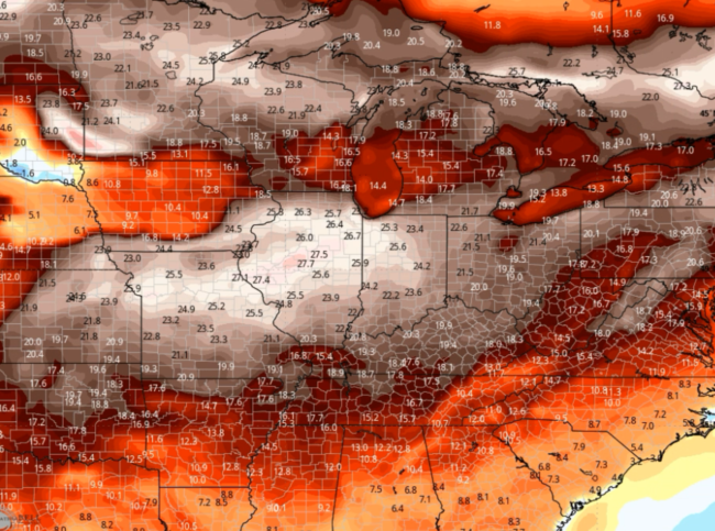
Oh snap it’s a January thaw and then some! How about 30 degrees above average! We will have a cold shot the end of this week that could supply a couple sneaky snow chances. The active pattern then comes to an end. Next week is pretty dry to the East and wet West with a…
The cold keeps on coming and so does this active pattern! While the pattern won’t get super quiet there will be a change to the cold air. ⛄ Next week will be MUCH WARMER! Butttt before we get there it’s all about the snow and cold. A few systems track through with 2-4″ widespread. 🌬…
Lots of impactful weather to discuss! The big story is the Friday-Saturday storm. It’s tracking further Northwest. Very strong pressure gradient leads to blizzard conditions with the winds of 50-60 mph. Some spots will see over a foot of snow with blowing and drifting. While others deal with more flooding and severe storms. Significant cold…
🌪️🌧️ Weather Alert! Active Stretch Ahead. We have a Nor’easter this weekend that will drop several inches in spots. The big deal snow event could be next week. We’ll have to iron out some details, but severe storms and significant snow with an area of icing are on the table. It’s a busy stretch ahead,…
🌡️📈 Experience the Warmest December on Record! History is in the making with the warmest December we’ve ever seen! In this update: -Find out why snow lovers might need to wait a bit longer for a winter wonderland. -Watch as we track a significant low pressure system sweeping across the East, bringing dramatic weather changes.…
Get ready for a “Torchmas” this Christmas week! 🎄☀️ Our latest forecast reveals an unusually warm holiday season ahead. But don’t pack away your winter gear just yet! We’ll dive into when you might expect the cold snap and snowflakes to make a comeback. There’s more rain than snow coming up. Some areas are trending…
A mild regime coming up. Some spots significantly above average temperatures. Will this ruin white Christmas chances? Want Info For Snow Contractors? Want to see snowfall records in your city? https://blog.snowplownews.com/snowfall_records/ To get the latest snow and ice control industry news check out Snow Plow News https://blog.snowplownews.com/ If you are looking for expert weather forecasting and meteorological…
Snow Chances in the Midwest & Northeast, Rain in the Pacific Northwest 🌨️🌦️ A complex weather system is bringing varied conditions across the country. We’re here to guide you through what to expect: potential snow in the Upper Midwest and Interior Northeast, and significant rainfall in the Pacific Northwest. This weekend we are also looking…
Well hello there cold and snow!! Nice little blast to end November. How about those teens and 20s? We moderate some over the next week, but sneaky winter threats will still happen. A little into the Midwest and Great Lakes. SE Canada sees snow and so does the Intermountain West. We even chaty about severe…
We’ve talked about the quite November pattern and it’s generally persisting. There will be snow from the Rockies into the Plains. A few to several inches in spots. A little action into the Great Lakes happens with some lake effect early in the week. How much could we see? The Pacific jet stream stays mainly…


